Our Services Drone Solutions
COICA provides a full spectrum of drone technology-based solutions for businesses requiring imagery, video and data capture and more. Through state-of-the-art creation of professional imagery products for visualization and analysis in GIS. We can deliver transformative intelligence solutions that strengthen and optimize your business.
Drone Applications
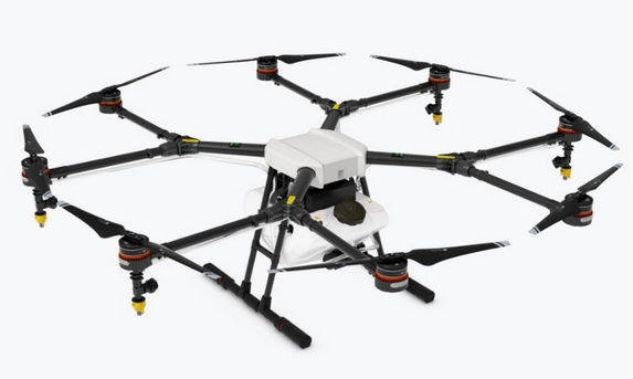
- AGRICULTURE
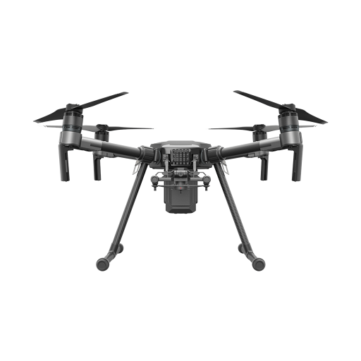
- AERIAL SURVEYING, MAPPING, & GEOSPATIAL APPLICATIONS
Our agriculture drones deliver value by pinpointing ways to reduce crop input and boost yield; at the end of the day we help you produce bigger, better crops and increased profit. We make it easy for you to access agricultural intelligence. Whether you fly your own agriculture drone in combination with our data processing or choose one of our complete solutions, we’re a perfect fit for your plans.
Drone technology represents a huge potential for surveyors and GIS professionals. It greatly cuts the cost and work hours of data capture. Further, you can survey real-time or otherwise unreachable areas and deliver high-resolution aerial maps that would be otherwise impossible to produce in a safe or cost-effective way.
Drone Services
- Aerial Photography & Videography
- Aerial Mapping
- 3D Modelling
- Ortho-mosaic
- 3D model
- Point cloud
- Digital Terrain Model
- Drone Technology integration with Geospatial Solutions
- Facility Inspection and safety
- Asset management and monitoring
- Emergency Planning and Response
- Custom Solutions
- Consultation